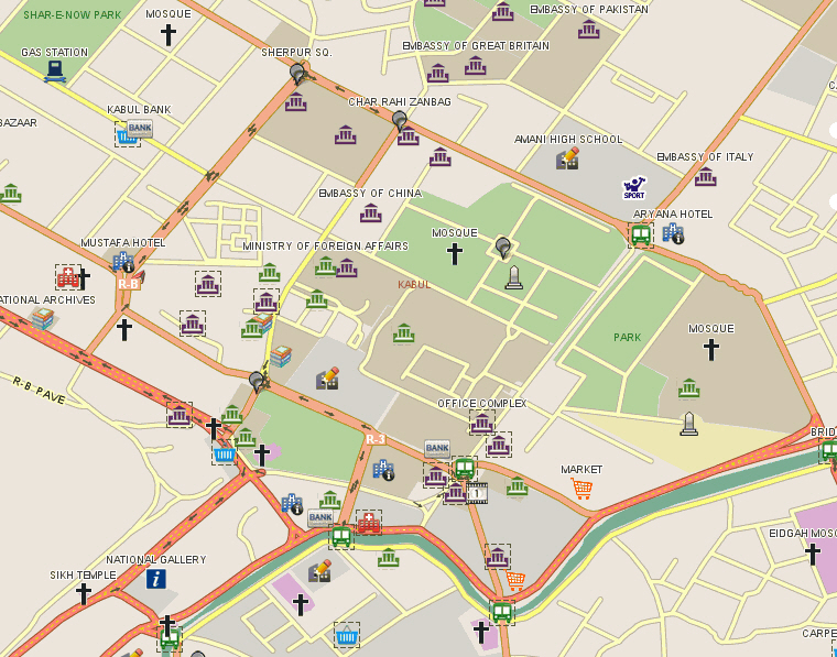
LeadDog maintains an accurate and comprehensive GIS street, road and POI maps for Afghanistan. Our map data was the first GIS vector maps for Afghanistan. Our mission critical mapping is in use by the military, private security, non-government organizations, GPS asset-tracking and others operating in Afghanistan.
LeadDog Afghanistan City Streets maps cover the following cities: Kabul, Herat, Kandahar, Mazar-i-Sharif / Mazar e Sharif and Jalalabad.
Afghanistan Major Roads & Highways – Our nationwide Major Roads map set includes all paved and dirt major highways and roads, city/town/place points, railroads, airport points, major water features, detailed urban areas, parks and administrative boundaries (country/province/districts). Contours and landclass are also available. Scale: 1:250,000 or better.
LeadDog provides Afghanistan demographic maps for your GIS map software and analysis.
Commercial high resolution satellite maps from multiple sources are available for license.
Afghanistan offline maps for the iPhone or iPad, are available in the iTunes store. Click offline maps to purchase. Offline map application developed by GeoCompanion.
Afghanistan GPS maps (Garmin format) are available through our partner.
