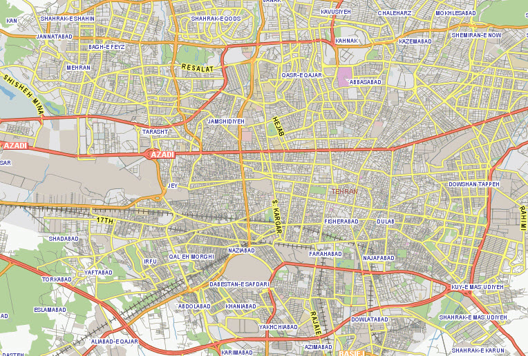
LeadDog provides detailed and spatially accurate GIS vector street, road and Points of Interest maps for Iran.
LeadDog Iran City Streets maps cover the following cities:
Tehran Map Esfahan Map Mashhad Map Tabriz Map
Iran Major Roads & Highways - Nationwide Major Roads map set includes all major highways and roads, city/town/place points, functional railroads, airport points, major lakes & rivers), detailed urban areas, national parks and administrative boundaries (country/provinces (ostān)/counties (shahrestān). Scale: 1:250,000 or better.
Nationwide maps at 1:50,000 scale are available as well as city maps at 1:2,500 scale. Please contact us.
3D city model is available for the city of Tehran which includes 5 meter Digital Terrain Model (DTM), landclasses which include, but not limited to inland water, open urban areas, dense urban areas as well as airports and industrial. 3D vector data includes streets, roads, rails, water, and airports.
LeadDog provides Iran demographic maps for your GIS map software and analysis.
Commercial high resolution satellite maps from multiple sources available for license.
Iran POI+PIC and StreetLevel Imagery may be available. Please inquire.
