Give maps meaning with LeadDog demographic data

Let our demographic map data help your enterprise interpret important population shifts and trends. 

Map demographics can:
  • Provide specific information about the population of an area 
  • Give insight into spatial patterns for geocoding, geomarketing, real estate, and research
  • Be used with other map data such as points of interest and postcodes to provide a complete map solution

Demographics from our local data partner network and our international partners can be combined to provide the most comprehensive data available. 

Now offering HERE Map Content

We are excited to offer HERE Map Content to expand solutions for your mapping enterprise. 

HERE is a Nokia company offering some of the world’s best location services. If you need location data such as road networks, buildings, parks and traffic patterns as well as new 3D city models- look no further! Talk to us today about the advantages of working with HERE Map Content for your GIS projects.

In addition to map content, HERE offers a stable, easy to use platform for building map applications (systems excluding iOS). With map data in over 190 countries, the HERE Platform offers full coverage for your next app. 

Some features of HERE Map Content:

  • Routing support between many waypoints.
  • Census Boundaries
  • 3D maps of 25 cities, with routing support
  • 3D street level imagery from 80,000 constantly updating data sources
  • Address ranges
  • Comprehensive points of interest
  • Postal Code boundaries and points

Contact us to learn more about how to get the latest HERE map data or to integrate HERE products with our own industry leading maps and services

Consulting? Yeah, we do that.

In 2000, I had a ‘little do you know’ notion to strike out on my own and try my hand at a business. The LeadDog part of the business name was simple: Being based in Alaska, a northern theme was a natural.

The Consulting part, that was less obvious. Honestly, the consulting part was an initial attempt at being a business generalist. I had some skills, having worked in the GIS industry with GDT for seven years. I started as a map technician, then became mapping manager and later building the first international mapping division of the company. I had terrific mentors at GDT (Ken Forseth, Mike Gerling & Don Cooke) and used every day as an opportunity to learn both the operational and business side. Which led me to believe I knew something and people would pay me to impart that wisdom. Consultant – that’s me.

Within the first few months of starting LeadDog and working on a couple consulting and website gigs, I thankfully turned to what I knew best: international GIS map data. And off LeadDog went. Many times we considered changing the business name to LeadDog Maps or something as uncreative as that. Made sense, mapping is what we did.

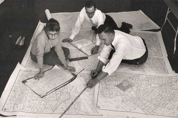
cartographers

And then something started to happen in the last couple years, facilitated by fundamental change in our industry: We started to make less maps and started to solve people’s map and technical challenges. Sure map making was often at the core of the solution, and still is, but it wasn’t just license what is off the shelf and done. It was license what’s off the shelf plus something else. That something else could be custom attributes, custom layers and combining our layers with other data sets such as imagery. There were map display challenges, GPS camera field collect projects in faraway lands, language translation, data integration, programming, determine the best value/quality of 3rd party data sets, discover new and unique data sets, etc.

I look around today and still see mapping but mostly see a staff helping solve real business challenges. We may grow into that Consulting part of our name after all!
Let us know how we can help you. It may surprise you what a bunch of mappers evolving into problem solving “consultants” can do.

dog

Are you stuck paying annual map license fees?

Are you stuck paying annual mapping license fees?  Or have the need to re-evaluate your map data model?   Maybe it’s time to do some due diligence and potentially save some money?  If so, read on.

As a commercial GIS map data provider, we know the value of verified, ‘home grown’ GIS mapping.  This has been our core market for 14 years.  It’s in our genes.  In this dynamic mapping world, however, there are growing alternatives in the open data world that can fulfill the data requirements of many clients. 

As the open map data world matures, particularly in the USA, Canada, Europe, Australia and many other traditionally strong GIS data markets, we are helping clients evaluate whether a more open data approach can help them reduce map license costs.

In some instances, the answer is ‘no’. For example, they need robust attributes such as street addressing that is still a strong point with commercial GIS data.  

In other use cases, the answer is ‘yes’.   Usually the answer isn’t as straightforward as substituting one map for the other.  For example, there is data format customization, specific data and layers requirements, merging of data sets and creation of additional map data content.  It usually isn’t epic but it does take a thoughtful, measured approach to make the transition. 

We are happy to help you evaluate your map data needs.  No agenda.  If what you have works, then you should stick with it.   If there is an alternative, let’s explore it.